Overview
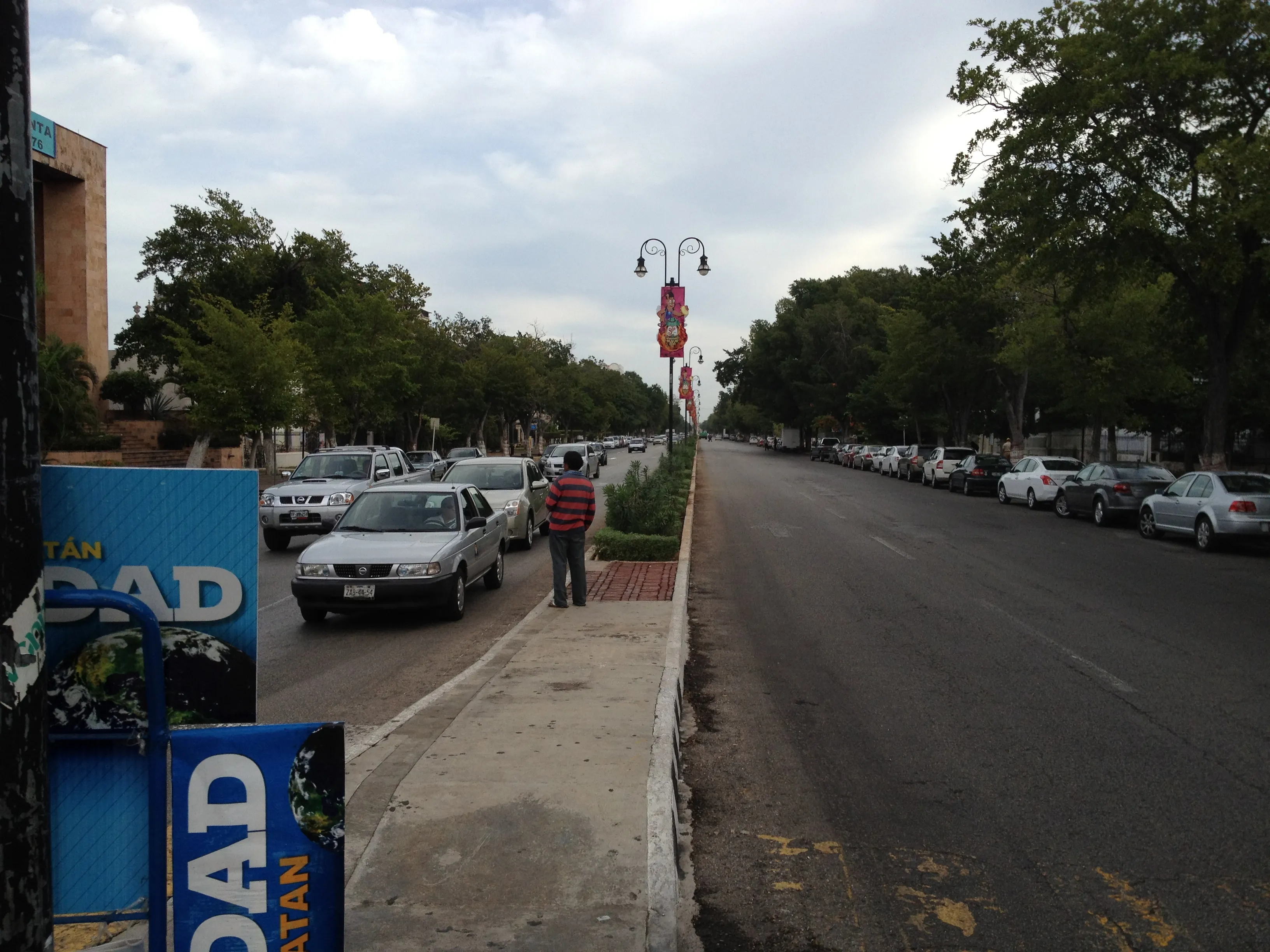
Paseo de Montejo is Mérida's grandest avenue — a tree-lined belle-époque boulevard named for the Spanish conquistador Francisco de Montejo, who founded the city in 1542. The street itself, however, belongs to a much later golden age. It was laid out in the 1880s and developed into the 1900s, when the Yucatán's henequén boom made Mérida one of the wealthiest cities in the Americas. Plantation owners — the so-called casta divina — wanted an avenue worthy of their fortunes, and they consciously copied the Champs-Élysées of Paris: a broad central roadway flanked by service lanes, shade trees, monuments, and a parade of private palaces.
Those palaces still stand. Along its roughly 2-kilometer historic stretch you pass French Second Empire facades, Italian marble, Moorish flourishes, and eclectic mansions like the twin Casas Gemelas and the Palacio Cantón, built for a general and now the regional anthropology museum. The avenue's monumental punctuation mark is the Monumento a la Patria, a vast carved-limestone relief of Mexican history completed in 1956. Today the ground floors of many mansions hold cafés, restaurants, banks, and boutiques, so the boulevard works as both an open-air museum of Gilded Age architecture and the social spine of modern Mérida.
A visit here is the perfect counterpoint to the region's other headline sights. Where Uxmal shows you Maya stonework and the cenotes take you underground, Paseo de Montejo tells the story of nineteenth-century wealth, European aspiration, and the fiber that paid for it all. Most travelers base themselves nearby and treat the boulevard as their evening paseo — the traditional slow walk — after days spent out among the ruins and sinkholes from Mérida.
Landmarks Along
Monumento a la Patria: The boulevard's monumental anchor at its northern roundabout — a semicircular carved-limestone relief of Mexican history by Rómulo Rozo, completed in 1956, with a reflecting pool and one of the city's signature night-time views. Palacio Cantón: An opulent beaux-arts mansion built 1909–1911 for General Francisco Cantón, now the Museo Regional de Antropología, with Maya artifacts inside and marble interiors worth the entry alone. Casas Gemelas (Twin Houses): A matched pair of French-style mansions from the 1910s; one is preserved as a house museum showing how the henequén elite actually lived. Casa del Minarete: An eccentric eclectic residence crowned with a slender tower, a local landmark and favorite photo subject. Remate de Montejo: The leafy southern terminus near the old center, with a fountain, benches, and a colonial-style arch that links the boulevard to the historic grid. El Minaret cafés and galleries: The renovated ground floors along the central stretch now host restaurants, ice-cream parlors, and shops housed in former mansions.
Photo Spots
Monumento a la Patria at blue hour: Shoot the curved relief and reflecting pool just after sunset when the floodlights come on — the carved figures read dramatically against the dark sky. The boulevard's tree tunnel: From the central median looking south, the rows of mature trees and the carriage lanes give the classic Champs-Élysées-style perspective, best in soft morning light. Mansion facades in raking light: Early morning and late afternoon side-light brings out the relief on the French and Italian stonework of the Casas Gemelas and Palacio Cantón. A passing calandria: Frame a horse-drawn carriage against a mansion backdrop for a quintessential Mérida shot — easiest on weekends when they queue near the Remate. Sunday Bici-Ruta crowds: With cars gone, you can stand in the middle of the avenue for wide, people-filled street scenes impossible on any other day. Casa del Minarete's tower: Its unusual silhouette stands out against the sky and makes a strong vertical composition.
When to Visit
The boulevard is a public street, open 24 hours and free to walk. The most pleasant hours are early morning (7–9 AM) and after 5 PM, when the heat eases and the mansions glow in low light. Avoid the midday window of 12–4 PM, when the unshaded sections are punishing. The Bici-Ruta closes the avenue to cars most Sundays from roughly 8 AM to 12:30 PM — the best time to see it car-free. Individual attractions keep their own hours: the Palacio Cantón (Museo Regional de Antropología) opens Tuesday–Sunday, 8 AM–5 PM, closed Mondays. Allow 1–2 hours to stroll the historic stretch, or half a day with museum and café stops.
Admission and Costs
Walking the boulevard is free. A calandria (horse-drawn carriage) ride costs roughly MX$300–400 (about $17–23) for a 45-minute circuit. The hop-on open-top tourist bus runs about MX$200 (about $11). Bike rental is roughly MX$50–100 per hour (about $3–6), and Sunday Bici-Ruta loaner bikes are free with ID. Entry to the Palacio Cantón anthropology museum is about MX$90 (about $5); Mexican nationals enter free on Sundays. A guided walking tour of the avenue typically runs MX$400–800 (about $23–46) per person; a private guide for a small group is roughly MX$1,500–2,500 (about $85–145).
The Case for a Guide
The mansions of Paseo de Montejo look handsome from the sidewalk, but their meaning is mostly invisible without context — a guide turns a pleasant stroll into a coherent story of money, architecture, and social upheaval.
- Decoding the henequén economy: A guide explains how a spiky agave plant generated the fortunes behind every facade, and why the boom collapsed when synthetic fiber arrived
- Reading the architecture: French Second Empire, Italian Renaissance revival, Moorish, and eclectic styles sit side by side; a guide points out which family built what and which architect they imported
- The Monumento a la Patria in detail: Rómulo Rozo's relief packs hundreds of figures and symbols into its curve, and almost none of them are labeled — interpretation is essential
- The social subtext: The casta divina fortunes rested on exploited Maya and Yaqui labor; a good guide gives the boulevard's beauty its honest historical weight
- Finding the open interiors: Several mansions now house museums, banks, or cafés you can enter — a guide knows which doors are open and what survives inside
Tips for Visitors
Go early or late: The boulevard has limited shade in stretches, and midday Yucatán heat is no joke — start by 8 AM or wait for the evening paseo. Carry water and a hat: Even in winter the sun is strong this far south. Aim for Sunday morning if your schedule allows, for the car-free Bici-Ruta and the festive street life. Combine with the city center: The boulevard's southern end (the Remate) is a short walk or quick taxi from Plaza Grande, so you can chain it with the cathedral and main square. Pace yourself with stops: Treat the cafés and the Palacio Cantón as rest points rather than trying to march the whole avenue in one go. Negotiate the calandria fare before you climb in, and confirm the route and duration. Evenings are magical: The Monumento a la Patria and several mansions are floodlit after dark.